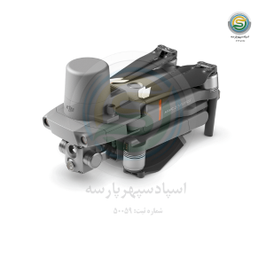
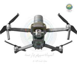
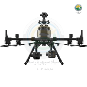
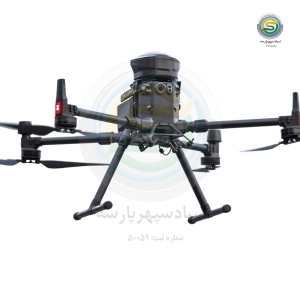
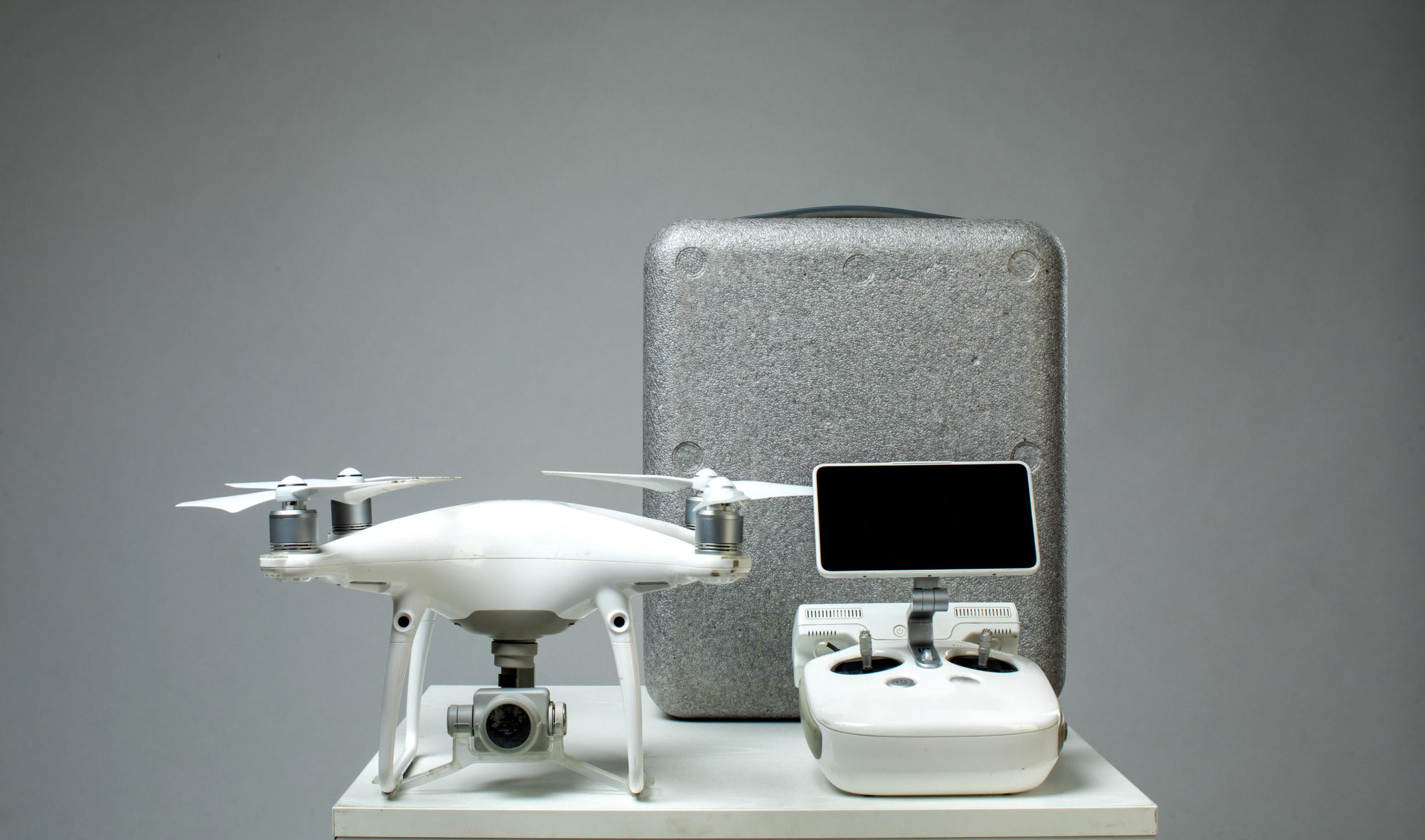
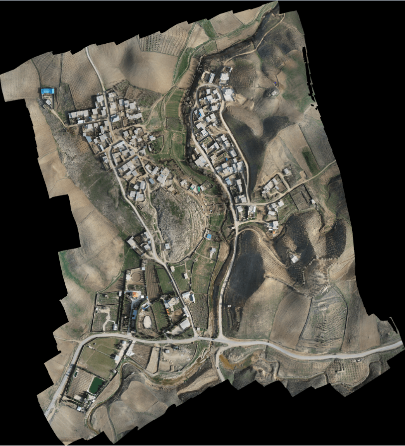
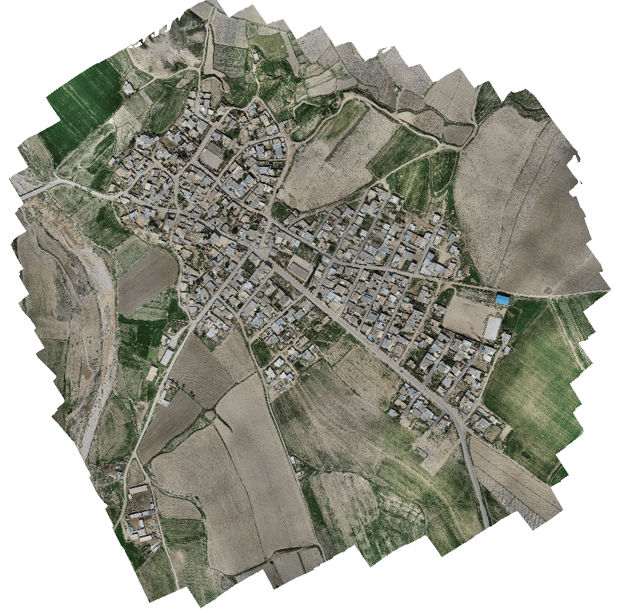
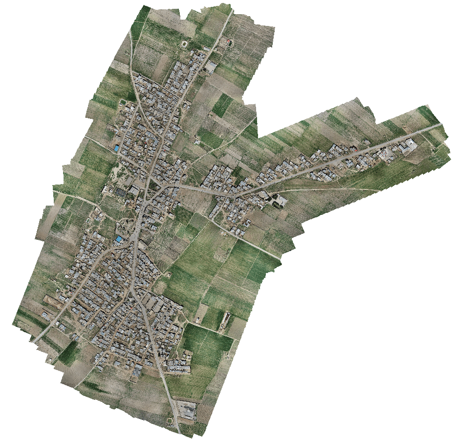
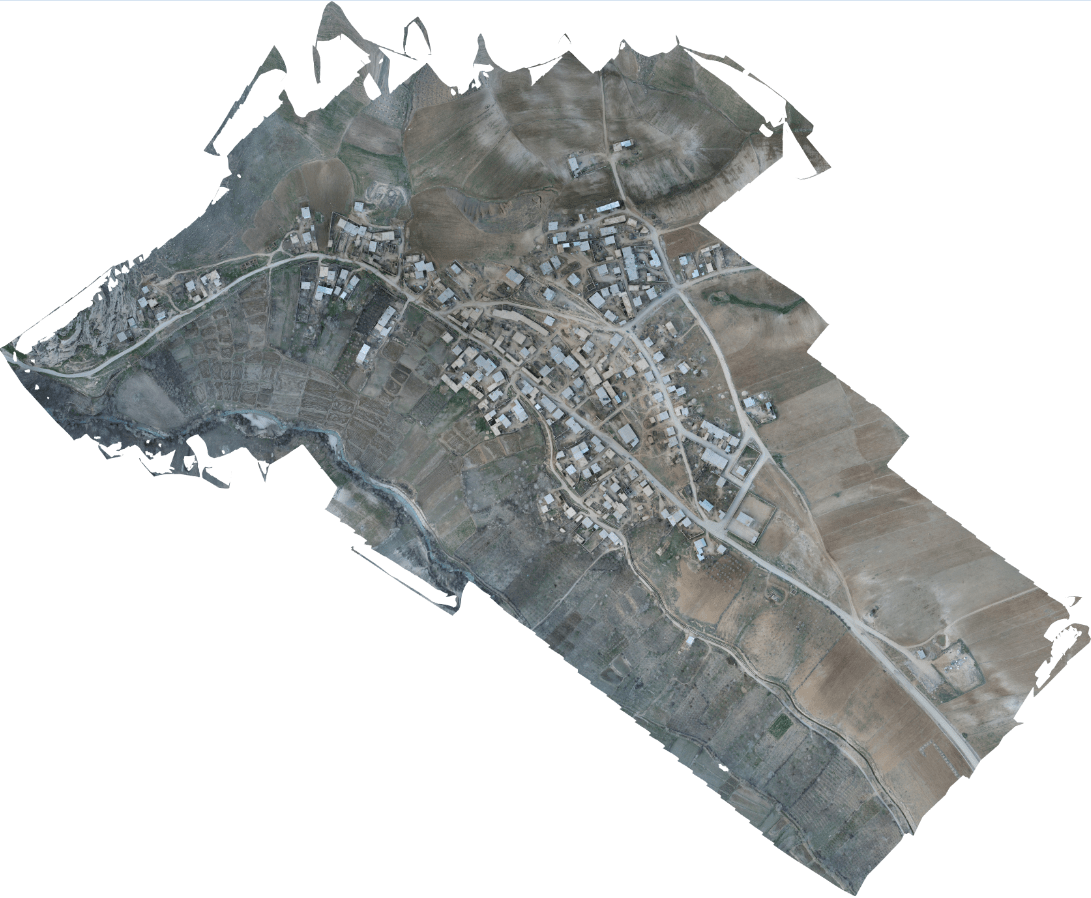
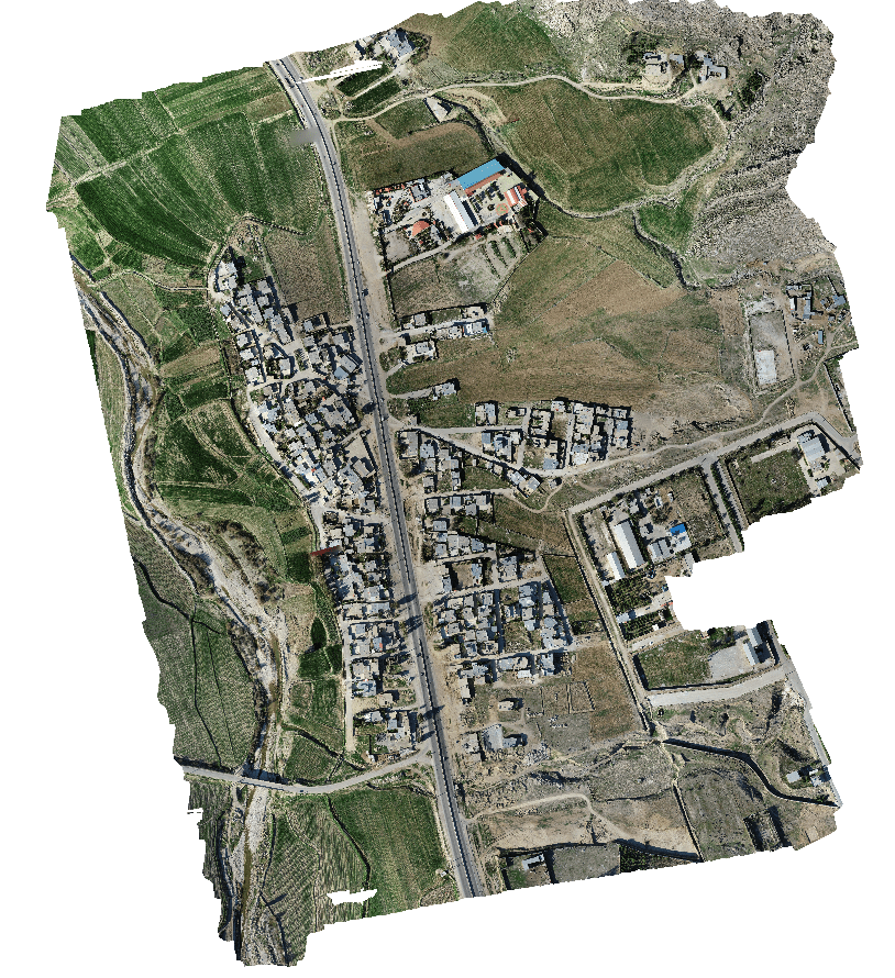
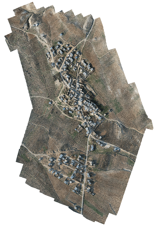
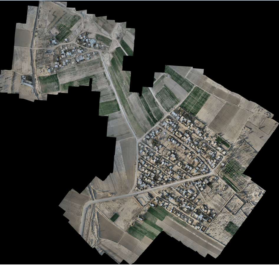
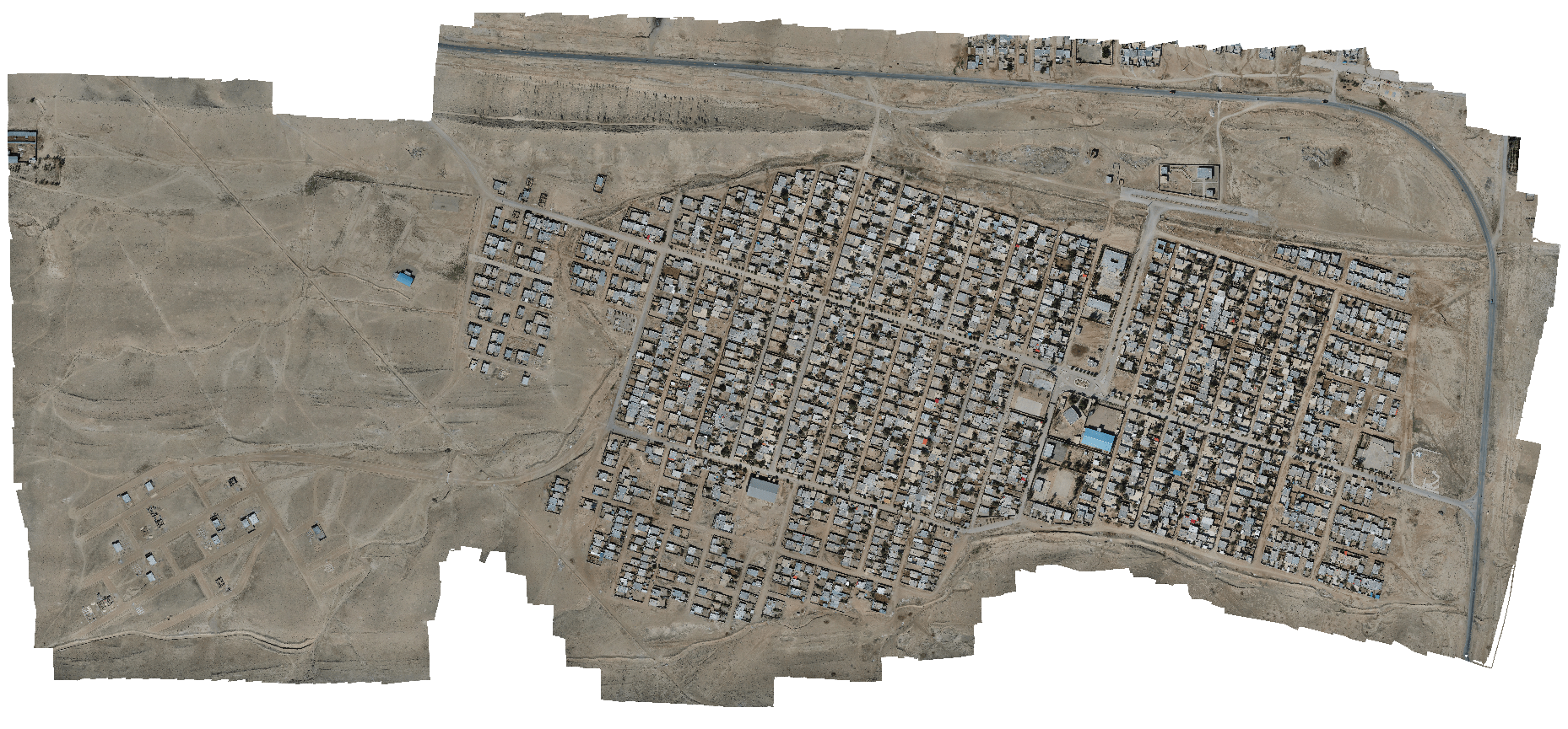
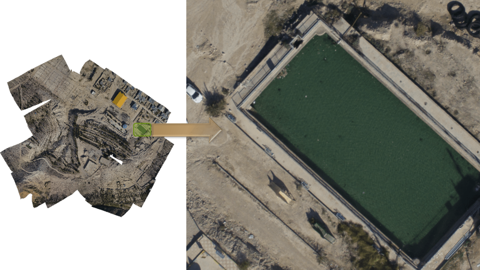
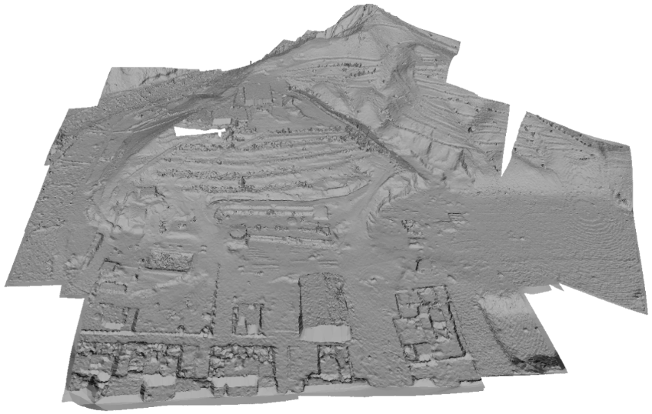
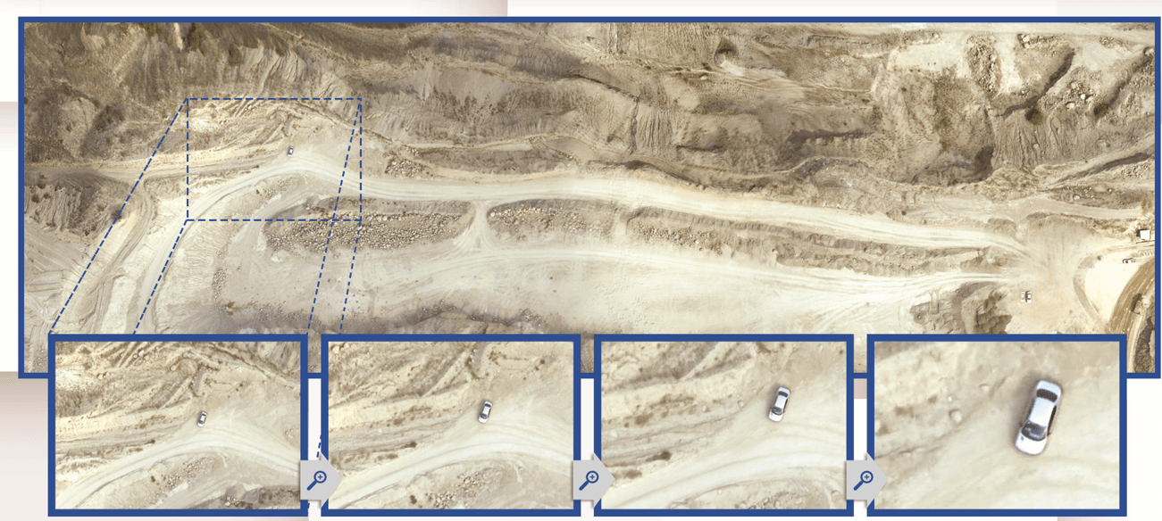
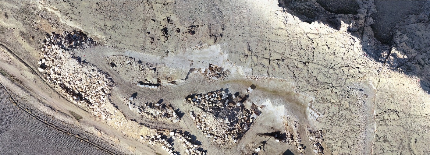
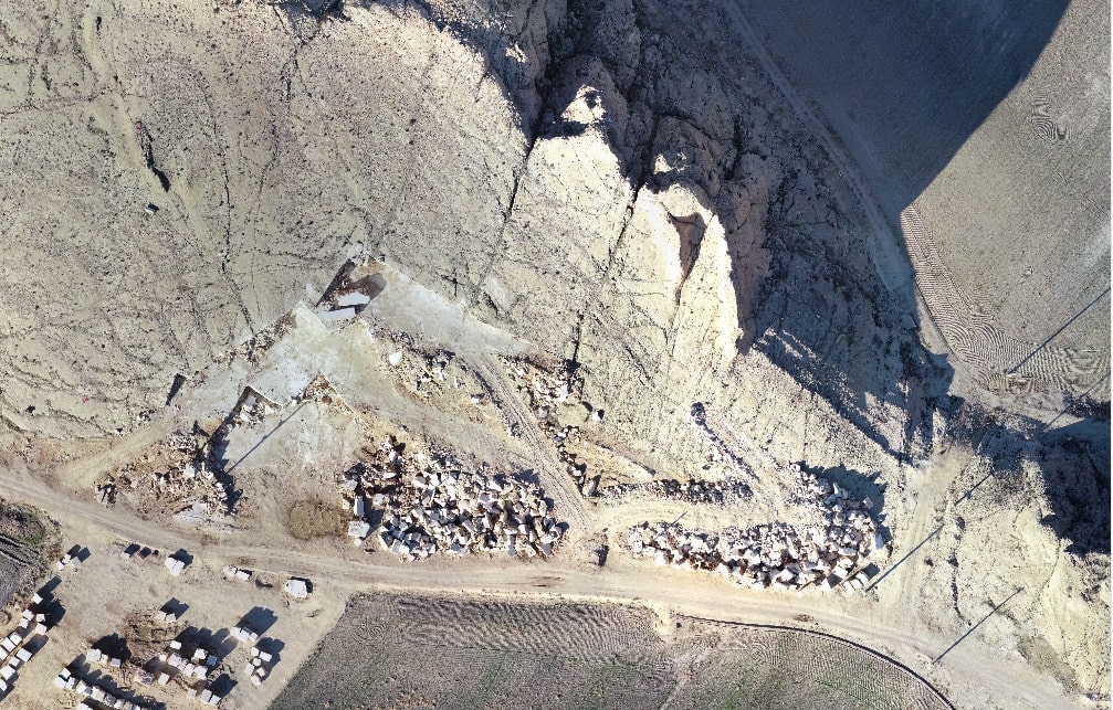
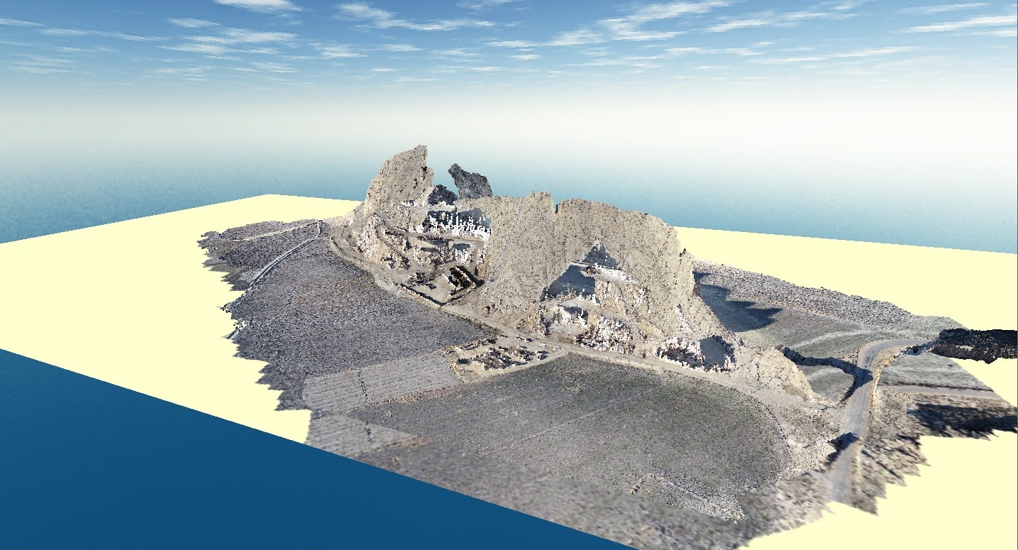
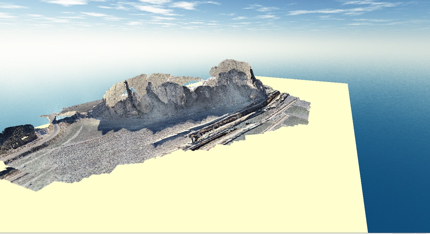
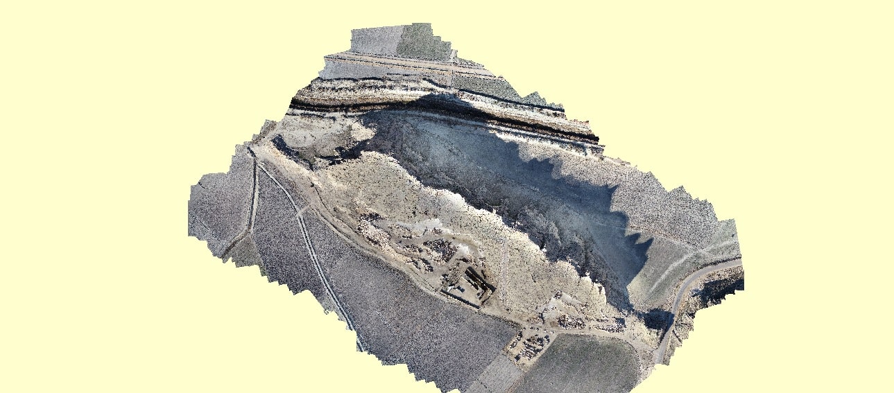
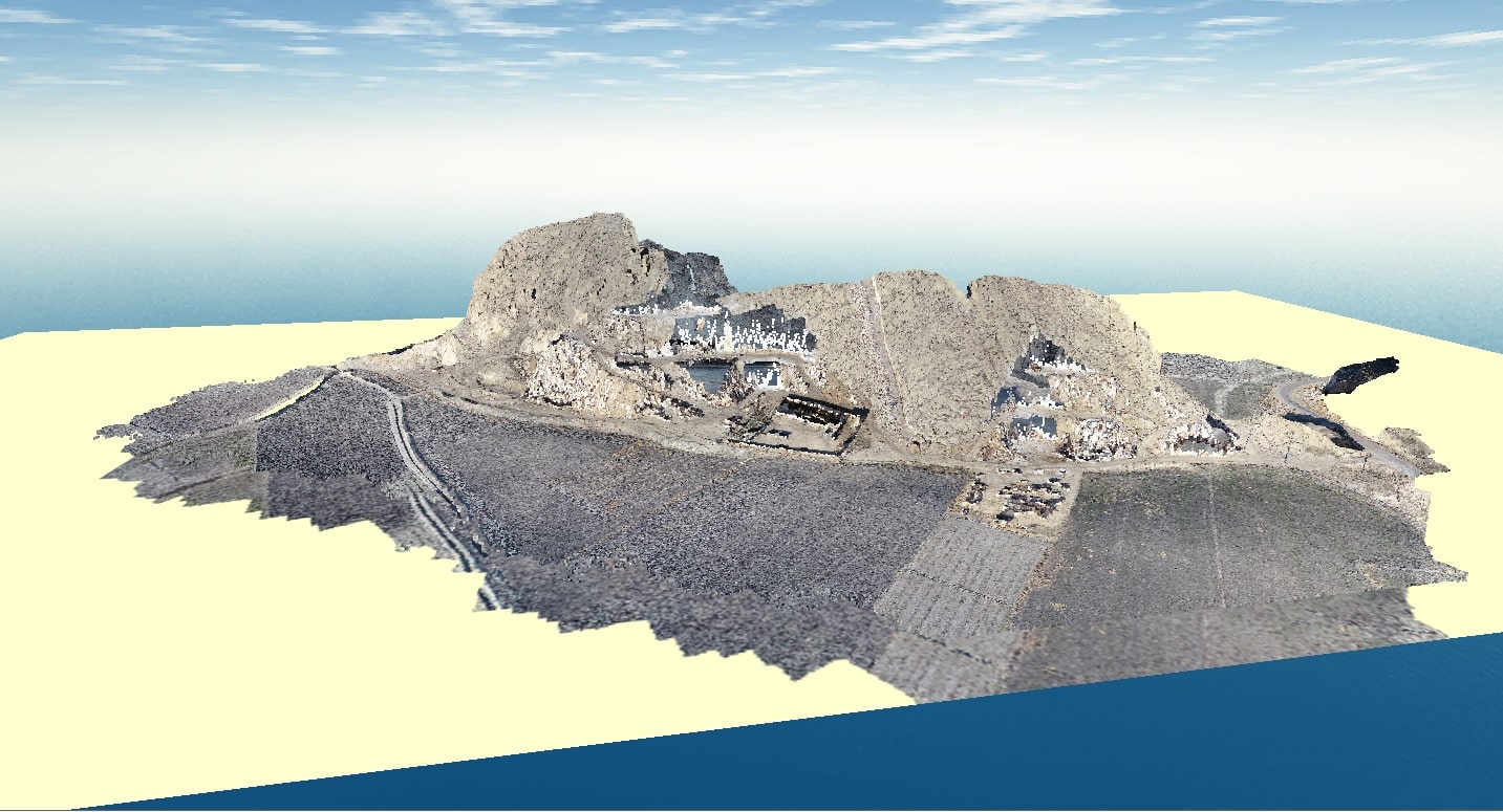
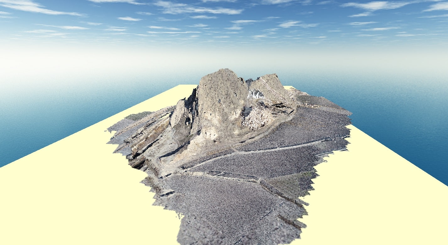
Aerial mapping

In order to produce two or three dimensional maps via aerial photography methods by drones, there’s a need to use diverse drones of which the most common one is the phantom 4 drone manufactured by DJI enterprises. Aerial photogrammetry has made it feasible to produce 3D models, orthophoto images and even colored point clouds. By utilizing these products, we can extract or construct topographic maps, city parcel maps, cadasters and other thematic maps. Land surveyors are rapidly veering towards using UAVs and major projects which usually take a long time to survey the land, can mostly be done in a much timelier manner, while keeping the same quality and presenting a more diverse range of by-products.

The characteristics of aerial mapping by drones

  • Aerial photography from heights lower than 30 meters to heights as high as 320 meters above ground in order to make maps of 1:200 to 1:2000.
  • Higher quality of location related products
  • Implementing automated processing algorithms
  • Reducing the cost of map making
  • Fast based data handling
  • Producing high quality and dense data
map making orientation
Photogrammetry
Long distance measurement
Geographic Information System
Hydrography
Geodesy

Aerial maps manufactured by using drones

  • land registry maps and cadastral maps
  • volume calculation in aerial mapping
  • numerical model production in aerial mapping
  • orthophoto images production
  • 3D model production in aerial mapping
  • topographic maps

A guide map of the villages in Fars province

Map making samples
Highland park in Mehr division (orthophoto)
Highland park in Mehr division (3D map)
Firooz mountain rock mine
Hayghar dam in Firoozabad (topography)
Hayghar dam in Firoozabad (orthophoto)
The new town of Lamard (topography)
Fars province village (orthophoto)

Zarghan rock mine